Mapping Movement for Safer Urban Travel
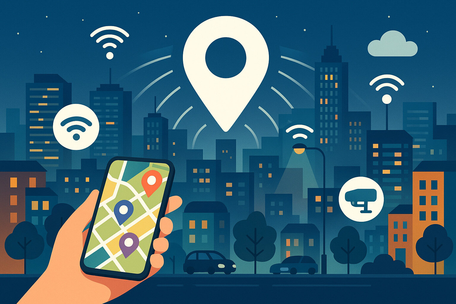
In a smart city, understanding where people and vehicles move is key to improving safety. Geolocation data helps track patterns of movement across roads, sidewalks, and transit lines. This allows city planners to identify busy areas, blind spots, or zones prone to accidents.
With enough data, traffic signals can be timed better, and pedestrian crossings can be made more responsive. Sensors on buses, bikes, and even smartphones provide updates in real time, using data like postal code information to pinpoint exact locations. If a crowd gathers in one area or traffic backs up unexpectedly, systems can react quickly.
These responsive measures help reduce congestion and protect lives. By knowing how people flow through a city, smart systems can adapt to keep travel safe and smooth for everyone.
Powering Smarter Emergency Response
Emergency teams work faster when they know where the issue is and how to get there. Geolocation data gives police, fire, and medical services the tools to pinpoint calls for help and reach those locations using the fastest routes.
When traffic changes or roads are blocked, real-time updates let emergency vehicles reroute without delay. In some cities, traffic lights even adjust automatically to clear a path when an ambulance approaches. These systems rely on accurate location data to work correctly.
Location tools also help coordinate large-scale emergencies. When multiple teams respond to a fire or flood, knowing where each unit is in relation to others helps reduce confusion and improve safety for responders and residents.
Optimizing Public Transport Services
Bus lines and train schedules serve more people when they follow real demand. Geolocation data from ticket scanners, mobile apps, and vehicle trackers show where riders are boarding, exiting, and waiting. With this insight, cities can adjust routes, add service where needed, and reduce waste.
For example, if many riders transfer between two lines at one intersection, transit planners may add a direct link. If a stop sees fewer passengers at night, fewer vehicles might be assigned during that time to save energy and costs.
This data-driven approach means public transport runs when and where it’s most useful. It builds trust in the system and makes daily commuting more reliable for everyone.
Supporting Cleaner City Environments
Air quality sensors placed across a city give real-time readings, but geolocation data helps connect those readings to sources and effects. When a pollution spike occurs, location data helps trace its cause—perhaps a traffic jam or an industrial release nearby.
By layering geolocation with sensor input, cities can respond more precisely. Routes may be changed to reduce car use near schools, or alerts can be sent to residents in affected zones. Maintenance crews might be dispatched sooner to inspect factories or clear blocked drains.
Cleaner cities aren’t built on guesswork. They rely on clear, timely information that shows what’s happening and where. Location-aware tools help guide every decision.
Managing Resources More Efficiently
Smart waste bins, energy grids, and water systems all benefit from knowing where service is most needed. When city infrastructure includes IoT devices with geolocation tags, it becomes easier to manage and monitor.
A trash bin with a sensor can alert collection teams when full. If its signal includes location, routes can be planned to empty only those that need attention. This saves time and fuel. Similar tools work for smart lights, water leaks, or electrical faults.
Each alert tied to a place helps teams work smarter—not just harder. Efficiency grows when services are delivered based on need, not routine.
Improving Accessibility for All Users
City life should be welcoming to everyone, including those with disabilities or special mobility needs. Geolocation tools help by tracking how accessible different routes and services are. If a wheelchair ramp is blocked or a sidewalk is broken, alerts can be generated through smart feedback systems.
Location data from assistive apps also shows where users frequently face obstacles. This input gives planners the power to make adjustments—whether it’s adding benches, improving lighting, or repaving areas with frequent issues.
Designing cities with every resident in mind requires listening closely. Location-based tools gather this feedback in real-world settings, making change easier and more informed.
Driving Smarter Urban Planning
Big projects like housing developments or new parks need planning data. Geolocation input shows where people currently live, gather, and travel. It also highlights empty lots, underused buildings, and traffic-heavy streets.
By combining these layers of information, planners can make better choices about where to invest. If an area has many residents but few green spaces, it becomes a strong candidate for a new park. If another lacks access to transit, adding a bus line might take priority.
Data tied to location connects people’s needs to physical places. That connection helps governments build smarter, more responsive neighborhoods.
Encouraging Community Engagement
When residents feel seen and heard, they’re more likely to stay involved. Smart city apps that include geolocation make it easier for people to report problems, give feedback, or join discussions about their area.
Someone can use an app to snap a photo of a pothole and send it—location included—to the right department. Others might tag a broken streetlamp or report noise issues. This system helps local teams respond faster and keeps residents part of the solution.
Engagement grows when people know their input makes a difference. With location data, it becomes easier to show results and close the loop between questions and answers.
Strengthening Data Security and Ethics
Geolocation data brings powerful insights, but it also raises questions about privacy. Cities need clear rules about how data is collected, who can use it, and for what purpose. Trust grows when people know their location is used for better services—not for tracking individuals without cause.
Some systems anonymize data before sharing it. Others only collect general patterns, not personal routes. Strong safeguards must be in place so people can benefit from smart services without giving up their peace of mind.
Good systems respect boundaries. They aim for balance—gathering just enough detail to guide action without intruding on personal space.
Connecting Innovation to Everyday Life
Smart cities sound high-tech, but their best tools often feel simple. A trash bin that knows when to empty. A light that turns on when someone passes. A bus that shows up right when needed. All of these rely on knowing what’s happening—and where.
Geolocation gives IoT systems the awareness they need to respond, adjust, and improve. It turns machines from reactive to thoughtful, and it makes services feel more human—even when they’re automated.
At its best, location data doesn’t just guide technology. It supports the daily rhythm of city life in ways that feel smooth, helpful, and just right.
No Responses